Mimi Chen
Lore & Collectibles Specialist · Secrets & Collectibles, Lore & Walkthroughs
Maps every hidden package, secret room, and Leonida lore connection down to the exact block.
Community mappers cross-referencing horizon lines, highway gantry signs, and distant mountain silhouettes from Rockstar's trailers and Launch Gallery captures now estimate that the Grassrivers wetlands span a much wider western footprint than early Leonida map reconstructions assumed.
What Community Triangulation Reveals
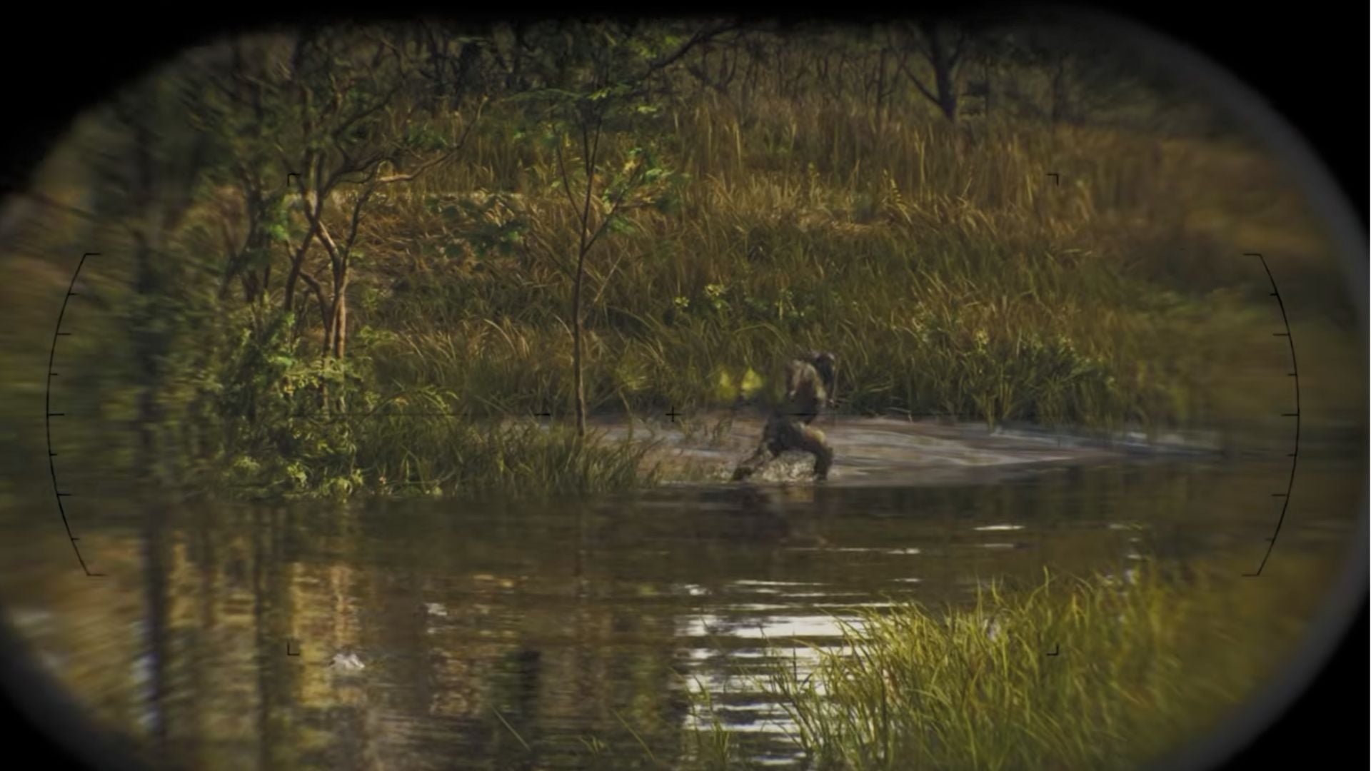
By lining up background terrain across multiple official screenshots, the GTA VI Mapping Project spotted key geographic markers pointing to an expansive Everglades-inspired interior:
- Distant Elevation Shifts: Northern and western horizons inside the Grassrivers reveal low-lying ridges and industrial towers that place the swamp basin well inland from the Vice City coastline.
- Highway & Waterway Arteries: Elevated causeways and parallel drainage canals cut straight through dense cypress and mangrove zones, connecting coastal Vice-Dale County to the southern edge of Lake Leonida.
- Hidden Micro-Biomes: Official captures confirm distinct sub-zones inside the marsh, ranging from neon-lit roadside bait shops and airboat docks to pitch-black mangrove tunnels patrolled by armed gator hunters.
Why a Larger Grassrivers Changes Exploration
Unlike the compact Lago Zancudo marsh in Grand Theft Auto V, Leonida's wetlands are built as a full-scale wilderness region rather than a quick highway shortcut.
Secrets, Wildlife & Smuggling Routes
A wider swamp footprint opens up huge potential for off-grid exploration once servers go live:
- Off-Radar Airboat Channels: Shallow reed beds inaccessible to standard road vehicles create natural smuggling corridors and hidden stash locations along remote tree islands.
- Apex Predators & Side Encounters: Dense fog, thick foliage, and confirmed wildlife interactions mean tracking rare fauna or stumbling onto backwoods stranger missions off the main highway network.
Until full satellite map reveals drop at launch, the exact western border of the Grassrivers remains community-estimated rather than officially locked.